Atlas of Drowned Towns logo
About The Atlas of Drowned TownsThe Atlas of Drowned Towns is a collaborative project that documents and preserves the stories of communities that were displaced or destroyed by dam construction and reservoir creation projects across the American West and beyond.
Atlas of Drowned Towns

Our Core Values

core value image
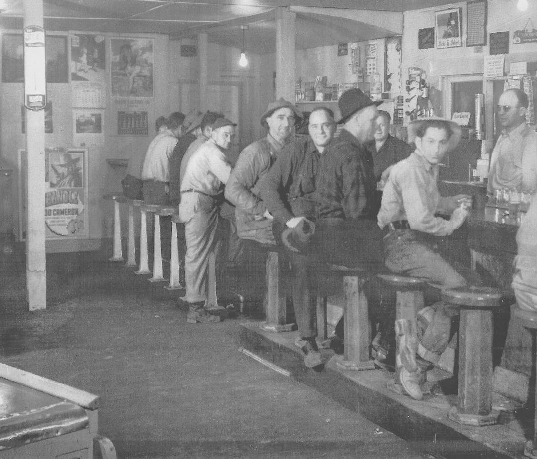
Detroit (Oregon) Tavern, ca. 1950.Photo courtesy North Santiam Historical Society.Community FocusedEmphasizes the perspectives and experiences of displaced people and their descendants.
core value image
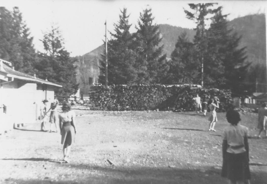
Detroit (Oregon) High School Girls Softball Team, 1941.Photo courtesy North Santiam Historical Society.CollaborativeSeeks to work with local historical societies, Tribal governments, federal agencies, private companies, and other interested scholars and students.
core value image
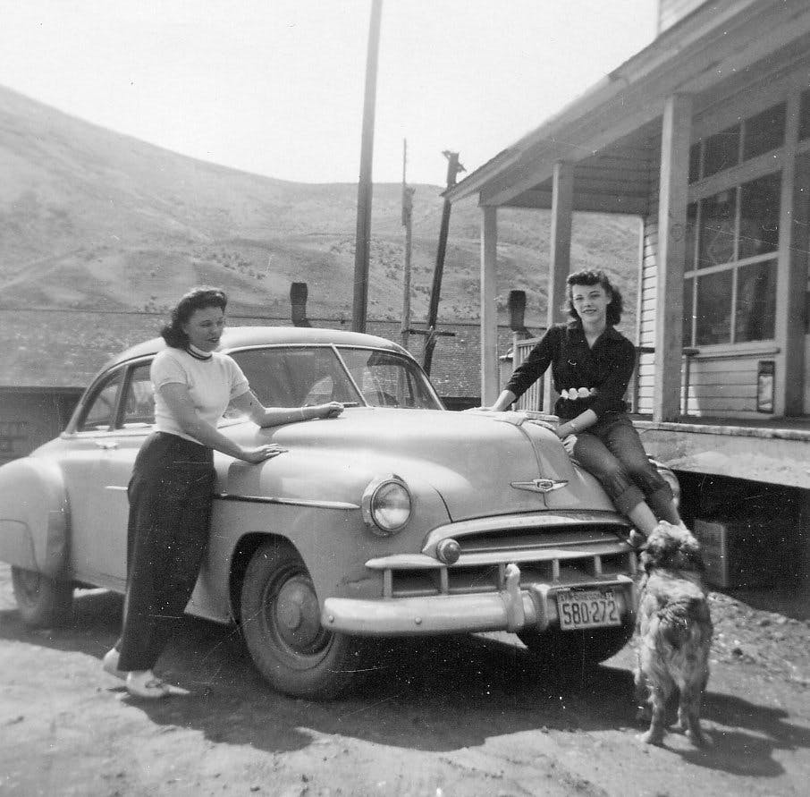
Robinette (Oregon) Store. Frankie Carrithers and Diane, ca. 1950s.Baker County Library Digital ArchiveComparativeProvides ways to compare, contrast, and learn from the diverse processes and experiences of displacement.
core value image
Robinette's (Oregon) one-room school house interior, 1952.Baker County Library Digital ArchiveCoherentProvides a platform by which to navigate between and make sense of the histories of these diverse communities.
core value image
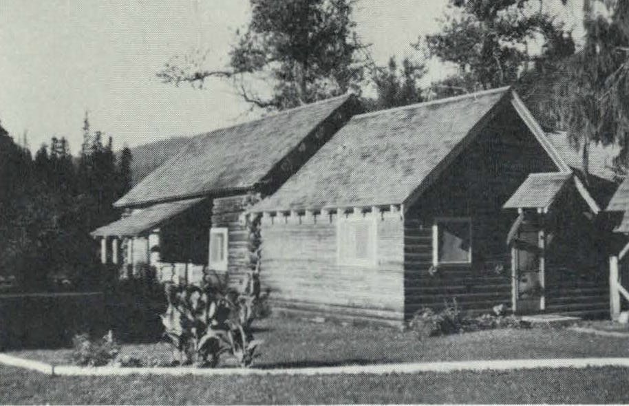
View of Boehl’s cabin in Boehl’s Camp, Dworshak Dam area, ca. 1962.US Army Corps of Engineers, Dworshak Design Memorandum No. 8, Part 2, Real Estate, 29 March 1962.ComprehensiveEncompasses myriad communities -incorporated towns, unincorporated villages, Tribal homelands, isolated farms, all erased by reservoirs.
core value image
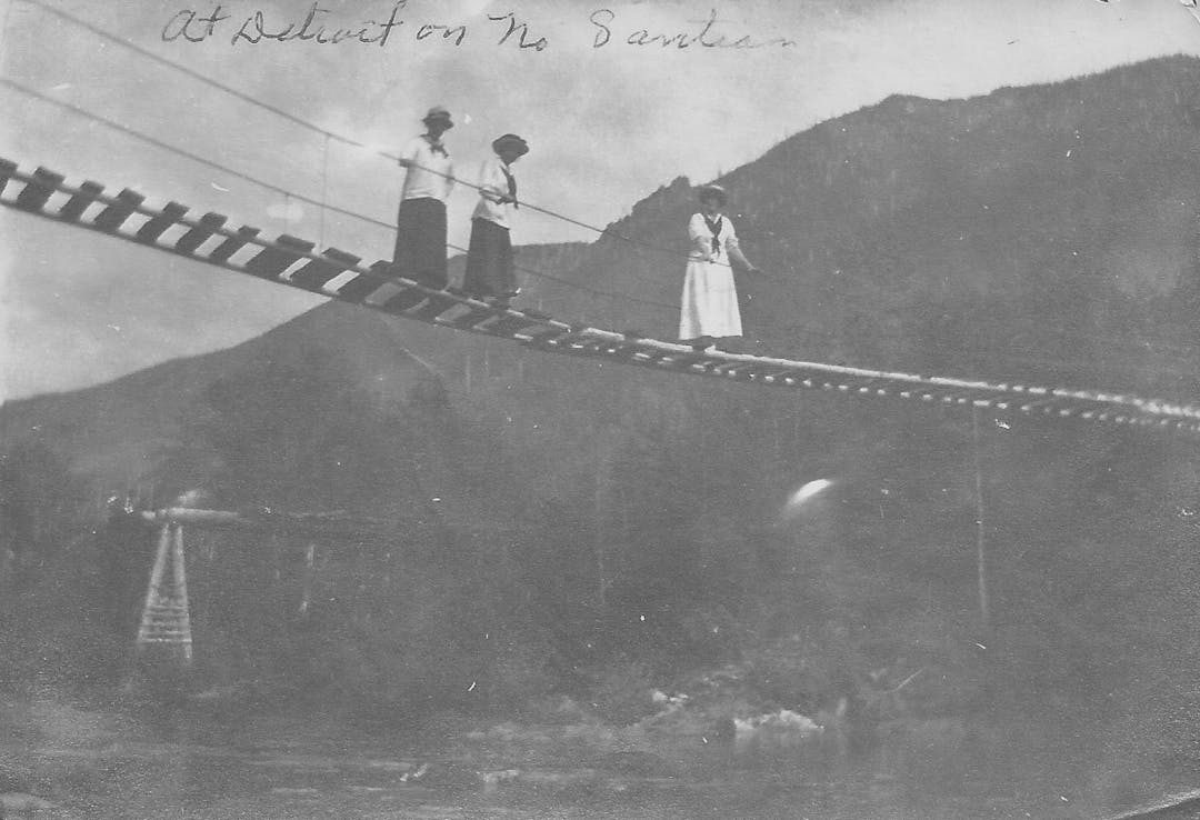
People on Bridge over North Santiam. Date unknown.Photo courtesy North Santiam Historical Society.ConnectedTo the many other scholars and people working on histories of displacement.